
Planning your trip
Cusárare Waterfall near Creel: Distance, the Trail and the Mission Museum
A 30 m 98 ft waterfall at the end of a 3 km 1.9 mi forest trail from the Cusárare mission, 22 km 14 mi south of Creel: how to get there, when to go and the mission's museum.
Saved on this device: you can read this guide without signal.
Email me this guide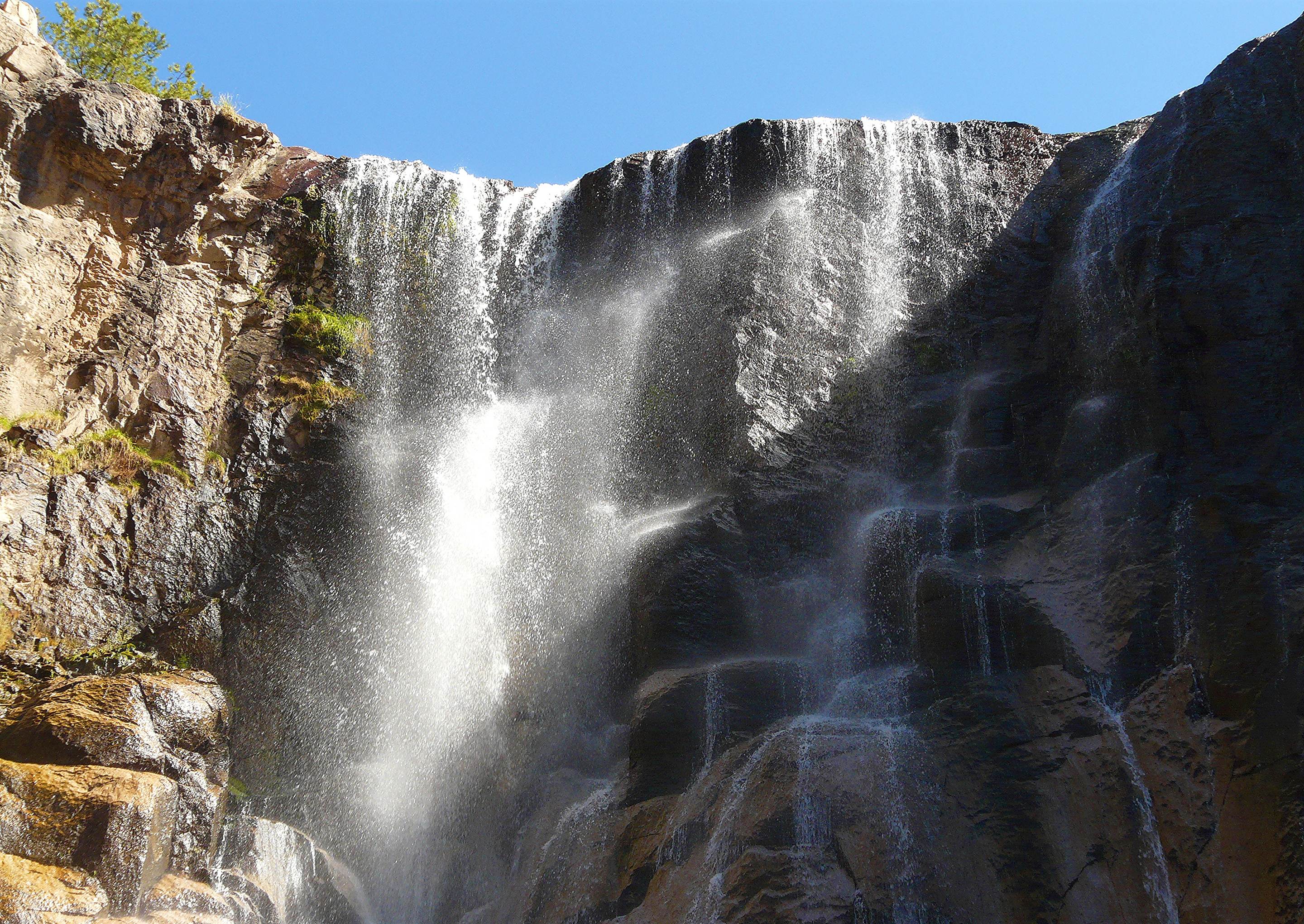
A 30 m 98 ft waterfall at the end of a forest trail, reached from the mission of Cusárare, south of Creel.
Key facts
| What it is | A waterfall with a 30 m 98 ft drop, surrounded by pine and oak, according to the train operator |
| Distance from Creel | 22 km 14 mi south of Creel to the Cusárare mission, then a 3 km 1.9 mi trail to the falls (operator) · the waterfall viewpoint mapped in OpenStreetMap is 25.6 km 16 mi by road from Creel, about 40 minutes |
| How to get there | By car or taxi to Cusárare, then on foot |
| Also here | The sacred art museum next to the mission keeps 44 large oil paintings that the Jesuits used, according to the operator |
| Time to allow | Our suggestion: half a day, including the trail both ways and the museum |
| Entry fee | We found no official published fee for the falls or the museum; carry cash |
| Best season | Driest from March to May; rainy from July to September; average lows below freezing from November to March |
| Terrain | A forest trail of about 3 km 1.9 mi each way; no official information on accessibility |
| Bring | Layers, water, cash and shoes with grip; a rain jacket from July to September |
What it is like
The operator describes the falls as one of the most beautiful in the area, reached on foot along a 3 km 1.9 mi trail from the mission of Cusárare, and notes the museum next to the mission, which keeps 44 large-format paintings recovered from the Tarahumara missions. The state government lists the Cusárare waterfall among the top attractions of the Creel region.
The rainy months in the sierra are July to September, according to the climate normals for Creel. We have no official figures on how much water the falls carry in the dry season, so if the waterfall itself is your goal, ask in Creel how it looks before you go.
Nearby
- Rekowata hot springs: about 7 km 4.3 mi in a straight line.
- Lake Arareco: about 10 km 6.2 mi in a straight line.
- Back in town: our Creel guide.
Waterfall drop, trail, mission distance and museum: the train operator's Creel station page, read on September 16, 2026. Climate: Servicio Meteorológico Nacional normals for Creel, station 8038, 1961–1990. Distances calculated on September 16, 2026 with OSRM on OpenStreetMap data (© OpenStreetMap contributors, ODbL), from the center of Creel; straight-line distances between places from the same map data. The state government's list of the Creel region's top attractions: Gobierno del Estado de Chihuahua, November 23, 2022. Cash advice: the operator's FAQ. We found no official published entry fee on September 16, 2026.
Recommended hotels
Recommended tours
Send me this guide
Everything on this page in your inbox: the schedules, the booking links and the dates we checked them. Handy for planning, printing or reading on the train.