
Stop 6 of 6 on El Chepe, from Chihuahua to the Pacific
Things to do in Topolobampo & Los Mochis, Sinaloa
Heading to Los Mochis, Sinaloa? Find information about the city and the nearby town of Topolobampo. How to get there, where to stay, what to do, and more.
Saved on this device: you can read this guide without signal.
Email me this guide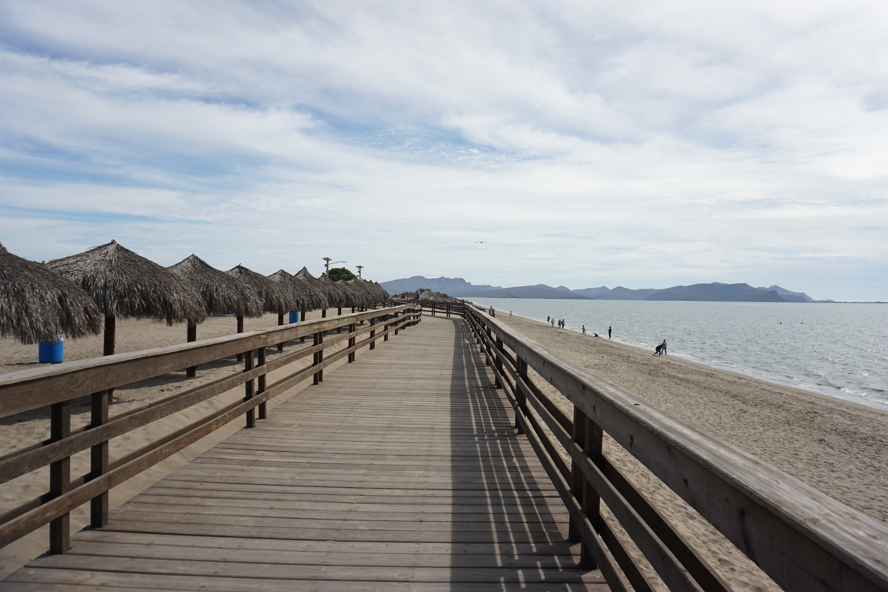
Los Mochis is 15 metres above sea levelLos Mochis is 49 feet above sea level
16:40The Chepe Express leaves Los Mochis for Los Mochis on Tuesdays, Fridays, Sundays.
07:00Trains from Los Mochis arrive on Mondays, Thursdays, Saturdays.
Kilometre 654 of 654 from Chihuahua. Schedules checked September 15, 2026 on chepe.mx; in May, June, August and September the Express runs only Thursday to Sunday.
Updated for 2026
- Trains at Los Mochis: the Chepe Express leaves for Creel at 7:00 on Mondays, Thursdays and Saturdays and arrives from Creel at 16:40 on Tuesdays, Fridays and Sundays (Thursday to Sunday only in May, June, August and September). The Chepe Regional leaves for Chihuahua at 06:00 on Wednesdays and Sundays and arrives from Chihuahua at 20:28 on Tuesdays and Saturdays.
- U.S. travel advisory: the U.S. State Department advisory for Mexico issued on May 29, 2026 lists the state of Sinaloa at Level 4, Do not travel, due to terrorism and crime. It says U.S. government employees may travel to Los Mochis and Topolobampo only by air or sea. Read the full advisory before you plan a visit.
Train times checked on September 18, 2026 against the operator's schedules and Regional schedule; advisory checked on September 15, 2026 on the U.S. State Department page for Mexico. Bus, taxi and boat prices from 2018 were removed from this page because we could not verify current ones.
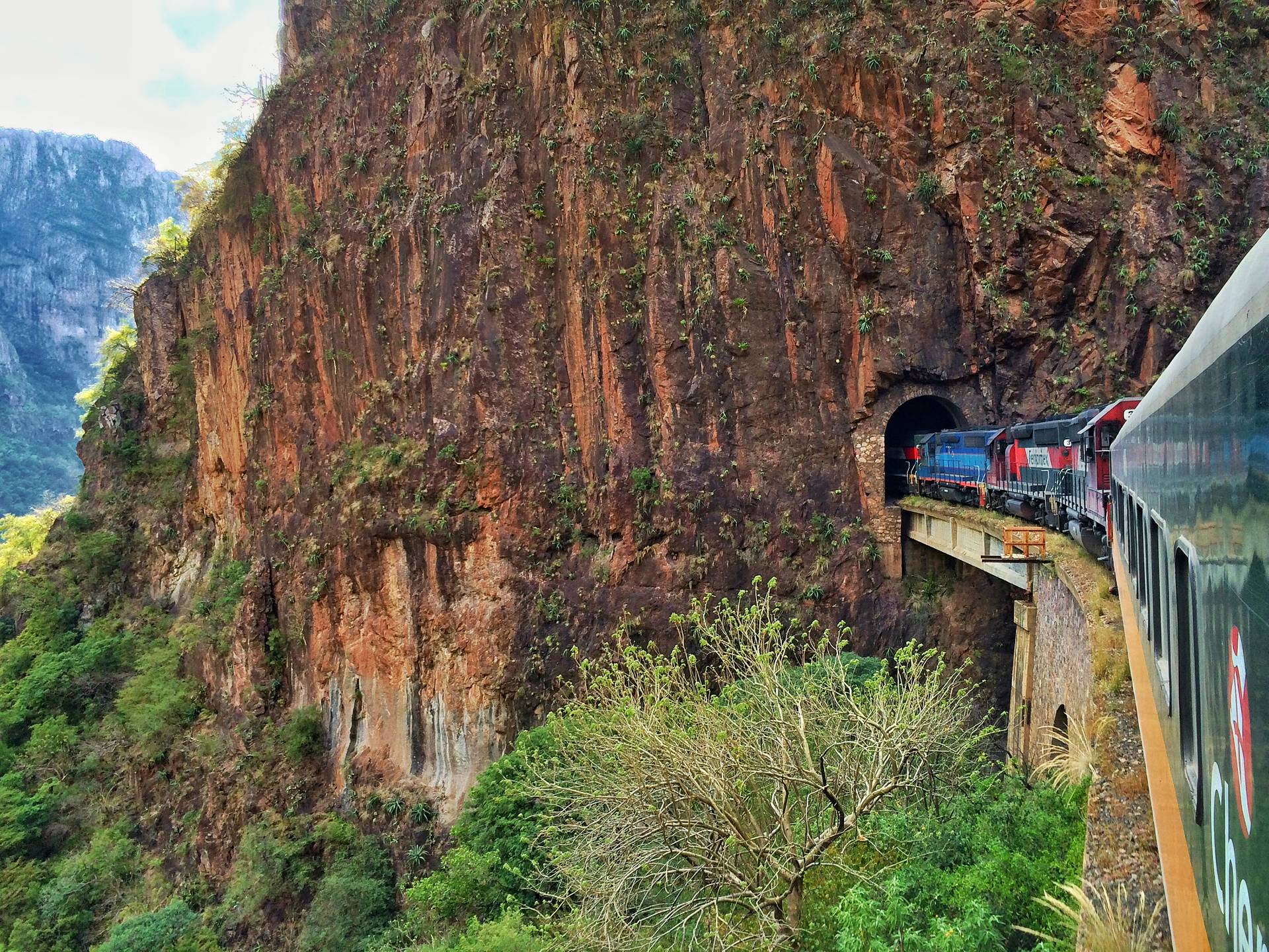
Los Mochis, like Chihuahua, is a terminal city for the Chepe railway through the Copper Canyon. Most people visiting the canyons will find themselves here either at the beginning or the end of their Copper Canyon journey.
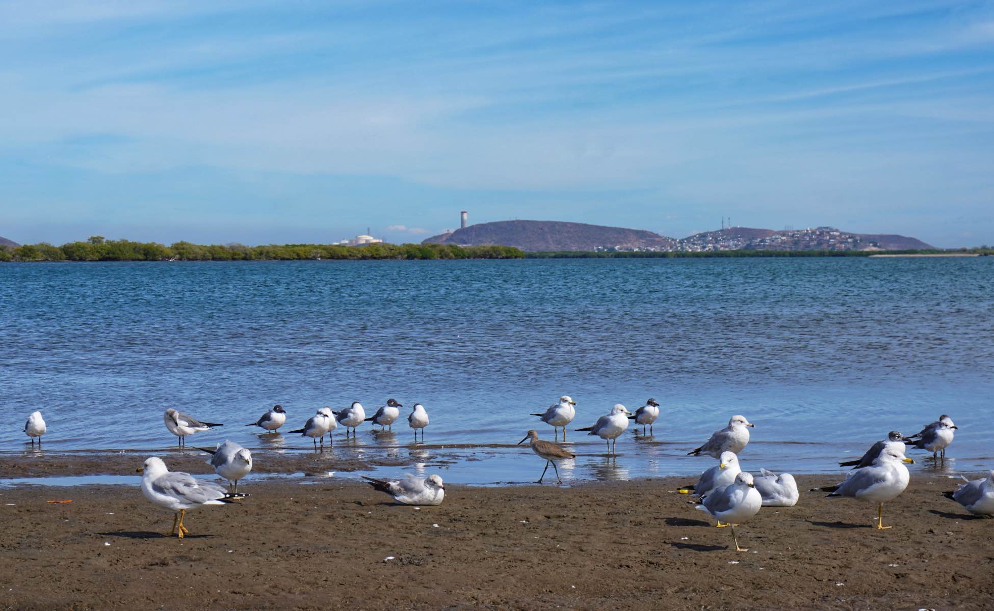
The seaside town of Topolobampo is the best place to go while in the area. It’s where you’ll find the best beaches, the most wildlife and the top things to do.
The town of Topolobampo and the city of Los Mochis are so close to each other that we’ll cover both in this article.
Introduction to Los Mochis & Topolobampo
Topolobampo and Los Mochis were both founded by Americans in 1893. A civil engineer by the name of Albert Kimsey Owen saw a lot of potential for a Pacific trading port where Topolobampo sits today. He and a few followers originally founded Topolobampo as a utopian socialist community.
Shortly thereafter, a businessman by the name of Benjamin F. Johnston, attracted by Owen’s visions for a port, found himself in what is now Los Mochis. He too saw a lot of potential in the region, but more specifically in sugarcane cultivation.
By the turn of the century, Johnston had built a sugar mill in Los Mochis and the city grew rapidly around it.
To this day, Los Mochis’ economy depends heavily on agriculture, though it has diversified a bit. In fact, the region is one of the top mango producers in all of Mexico.
Climate Around Los Mochis, Sinaloa
Los Mochis and Topolobampo sit at sea level and both have a semi-arid climate. The temperature is usually warm or hot year-round.
- April – October: daytime highs usually range from 32 to 38°C (90 to 100°F), night-time lows from 15 – 25°C (59 - 77°F). The rainy season is from July through September and the cities have occasionally been hit by hurricanes.
- November – March: daytime highs range from 26 to 30°C (79 to 86°F), while nightly lows are between 11 and 15°C (51 and 59°F).
The best time to go is in October as the landscape will be lush after the rain. However, as the weather is warm year-round, it’s easy to enjoy outdoor activities most of the year. It’s probably best to avoid July and August due to extreme temperatures and heavier rains.

Where are Los Mochis and Topolobampo?
Los Mochis and Topolobampo are in the north-western region of the Mexican state of Sinaloa. The two towns are only about 25 km 15.5 mi from each other, and Topolobampo is situated on the coast of the Gulf of California.
Los Mochis is the end of the line (or beginning) for El Chepe, so most visitors to the Copper Canyon will find themselves there at some point.
The map shows the major transportation hubs (mentioned below), as well as the major sites mentioned in the Things to do section
The places mentioned on this page, on a map.
Open the map in Google MapsHow to get to Topolobampo and Los Mochis, Sinaloa
Los Mochis is more accessible than most of the other towns along the Chepe route with the exception of Chihuahua. It can be reached by plane, boat, bus and of course, train.
How to get to Los Mochis, Sinaloa by Plane
Only a handful of airlines service Los Mochis airport (LMM) and only for domestic flights. To fly internationally from LMM, Aeroméxico will be your best bet but it will require a connection in Mexico City.
Volaris is a low-cost option; check each airline's site for its current routes from Los Mochis.
You can take an Uber or taxi to the airport or catch an Azules del Noroeste bus from their station (see map above).

How to get to Los Mochis, Sinaloa by Bus
There are two bus companies that can connect you to either Topolobampo or El Fuerte from Los Mochis. These companies are Azules del Noroeste (blue buses) and Transportes Norte de Sinaloa (ANS, green and white buses).
Los Mochis to El Fuerte
Most travellers through the Copper Canyon actually prefer to take a bus between El Fuerte and Los Mochis as the schedule is more flexible and the cost is lower.
Both companies run to El Fuerte from their own stations (see map above). We no longer print their frequencies, travel times or fares, which dated from 2018: ask at the station for the day you travel.
For details on how to get to Los Mochis from El Fuerte click here to see our El Fuerte page.
Los Mochis to Topolobampo
Azules del Noroeste buses run to Topolobampo from their station in Los Mochis (see map above), and the town is close enough for a taxi. Ask for the fare before you get in.
How to get to Los Mochis, Sinaloa, by Boat
Los Mochis doesn’t actually have a coastline but nearby Topolobampo does. Baja Ferries run between Topolobampo and La Paz, Baja California Sur, on a seasonally variable schedule. Check out their website for details and prices.
How to get to Los Mochis, Sinaloa, by Train
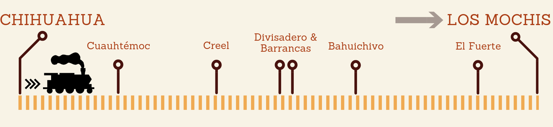
From El Fuerte (101 m 330 ft) the line climbs to about 112 m 365 ft, passes Los Mochis at 15 m (kilometre 654) and reaches Los Mochis at 15 m 49 ft, 82 km 51 mi from El Fuerte.
Both the Chepe Regional and Chepe Express begin and end their routes in Los Mochis.
The Chepe Express leaves Los Mochis at 7:00 on Mondays, Thursdays and Saturdays and arrives from Creel at 16:40 on Tuesdays, Fridays and Sundays. The Chepe Regional leaves at 06:00 on Wednesdays and Sundays and arrives from Chihuahua at 20:28 on Tuesdays and Saturdays. Times are local (Sinaloa is one hour behind Chihuahua), and stations open one hour before departure.

Things to do Around Los Mochis, Sinaloa
The city of Los Mochis may not offer a whole lot to travellers but Topolobampo is so close that it’s very easy to head over there for the day. Alternatively, you can stay a night or two in Topolobampo to take in all it has to offer.
Below is a list of the main attractions and things to do in Topolobampo and Los Mochis, Sinaloa.
Things to do in Topolobampo
The nearby town of Topolobampo is only 25 km 15.5 mi from Los Mochis and is situated on the Gulf of California, or, better known locally, as the Sea of Cortez. It’s a small port town where the malecón (esplanade) is always filled with locals and their fishing rods. You can easily find a little stall or restaurant serving fresh seafood and there are a couple of tours to consider once you’re town.
Los Mochis through the year, at 11 m
Average daily high and low, and monthly rain. Nights drop to 12 °C 54 °F in winter; September is the wettest month.
| Month | Average high | Average low | Rain |
|---|---|---|---|
| January | 27 °C 81 °F | 12 °C 54 °F | 11 mm |
| February | 28 °C 82 °F | 12 °C 54 °F | 8 mm |
| March | 30 °C 86 °F | 14 °C 57 °F | 1 mm |
| April | 33 °C 91 °F | 16 °C 61 °F | 0 mm |
| May | 36 °C 97 °F | 19 °C 66 °F | 0 mm |
| June | 38 °C 100 °F | 24 °C 75 °F | 3 mm |
| July | 38 °C 100 °F | 26 °C 79 °F | 41 mm |
| August | 38 °C 100 °F | 26 °C 79 °F | 91 mm |
| September | 37 °C 99 °F | 25 °C 77 °F | 129 mm |
| October | 36 °C 97 °F | 22 °C 72 °F | 22 mm |
| November | 31 °C 88 °F | 17 °C 63 °F | 23 mm |
| December | 26 °C 79 °F | 13 °C 55 °F | 14 mm |
Below are the boat trips usually offered at the pier. We removed the 2018 prices: agree on the price, the duration and what is included before you board. To book a tour, just head to the pier in Topolobampo and look like a tourist. The guides will find you.
Isla Farallón
- This rocky little island is situated about 15 km 9 mi off the coast of Topolobampo. It’s well known for its sea lion inhabitants, which are usually lounging on the rocks between October and April.
You can hire a boat to take you out to the island to watch the sea lions or to swim or snorkel nearby. It is the longest of the trips.
Isla de las Aves
- Another little island that you can visit is the Isla de las Aves, or Island of the Birds. It’s home to many species of local and migratory birds. The best time to see this island is between mid-April and early August.
Around Topolobampo Bay
- If you’d like to get a good look at the unique landscapes surrounding Topolobampo, you can book a boat tour around the bay. In addition to the natural landscapes, you’re likely to see different seabird species and maybe even dolphins.
El Pechocho
- Pechocho is the name of a wild dolphin that tends to hang out in a nearby fishing port. He’s not captive but it’s likely that local fishermen have been feeding him for years and so he sticks around. In fact, he’s been known in the area for about 20 years.
You can book a boat tour to go see Pechocho, but as he is wild, it’s not guaranteed that you’ll see him. Either way, you can go for a swim while you’re out on the water. In some cases, El Pechocho has even come up to swimmers to interact with them.
Please Note: Feeding and interacting with wildlife is often not a good idea. It can be risky for yourself but also for the animals. If you do go to see Pechocho, try to encourage your guide or captain not to feed him, and to only interact with him on his terms (don’t chase behind him in the boat).

Maviri Beach
This beach is about 11 km 7 mi from Topolobampo and 30 km 18.5 mi from Los Mochis, so it’s easily accessed by either.
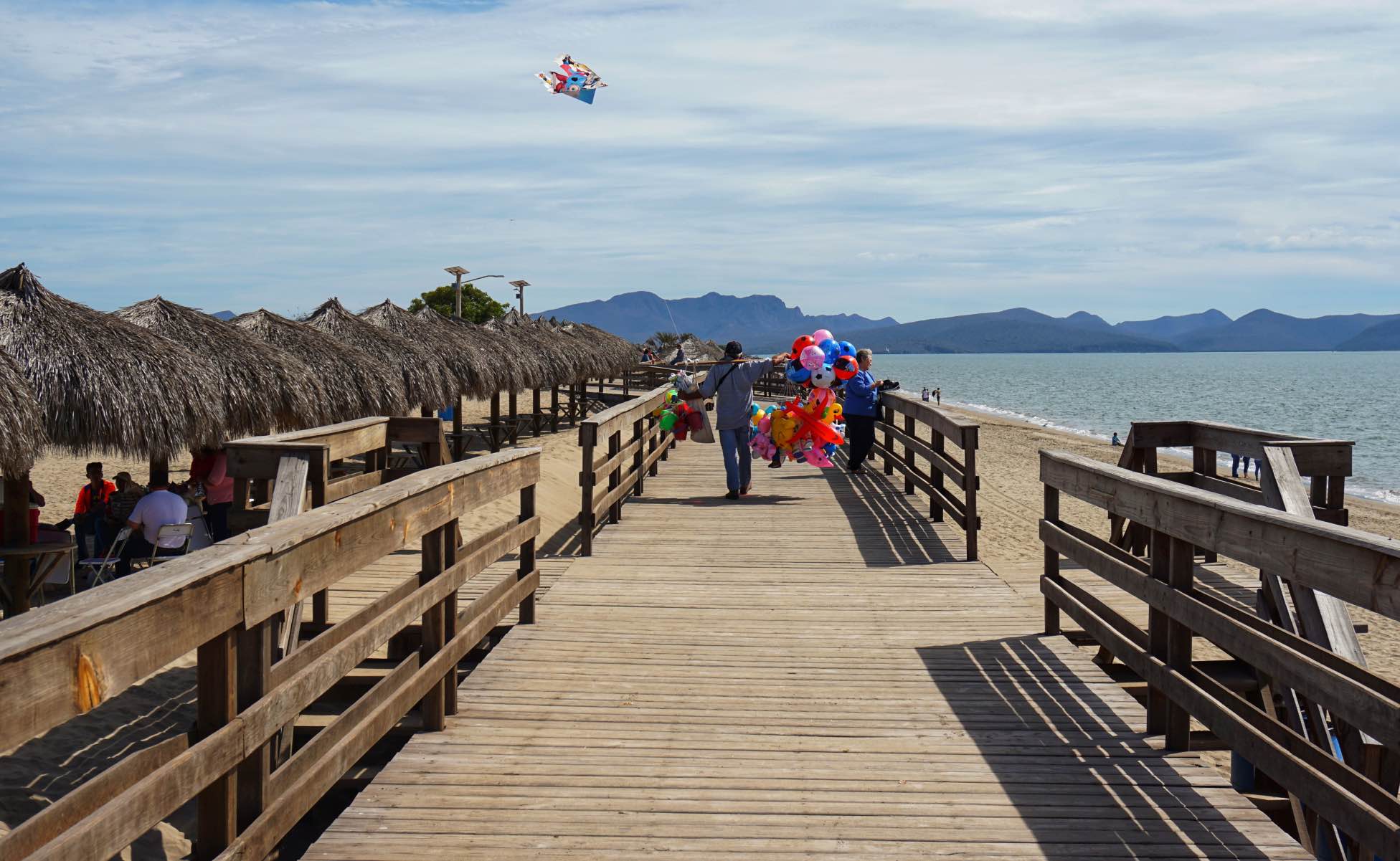
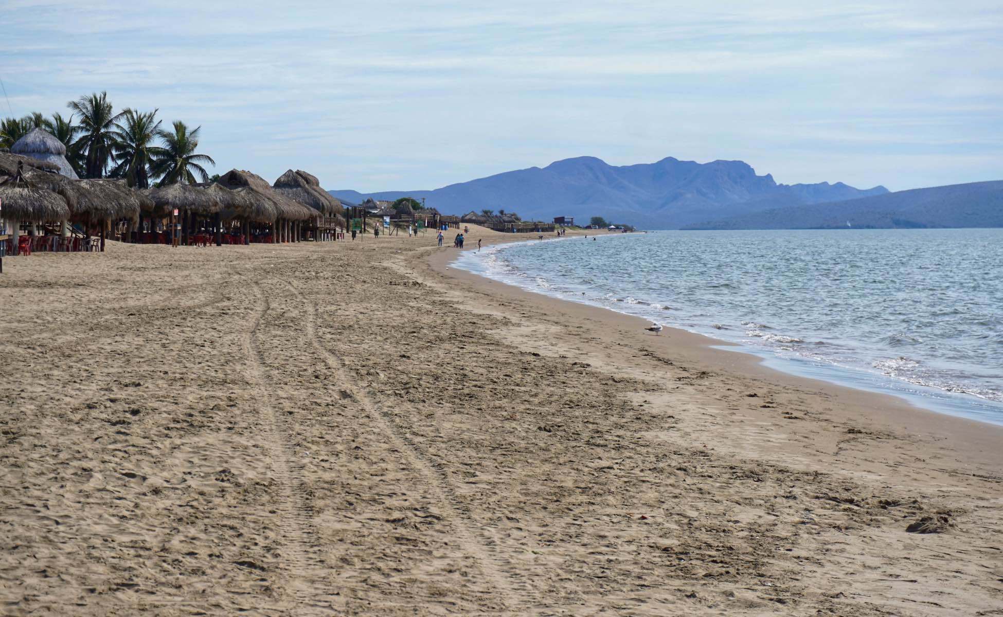
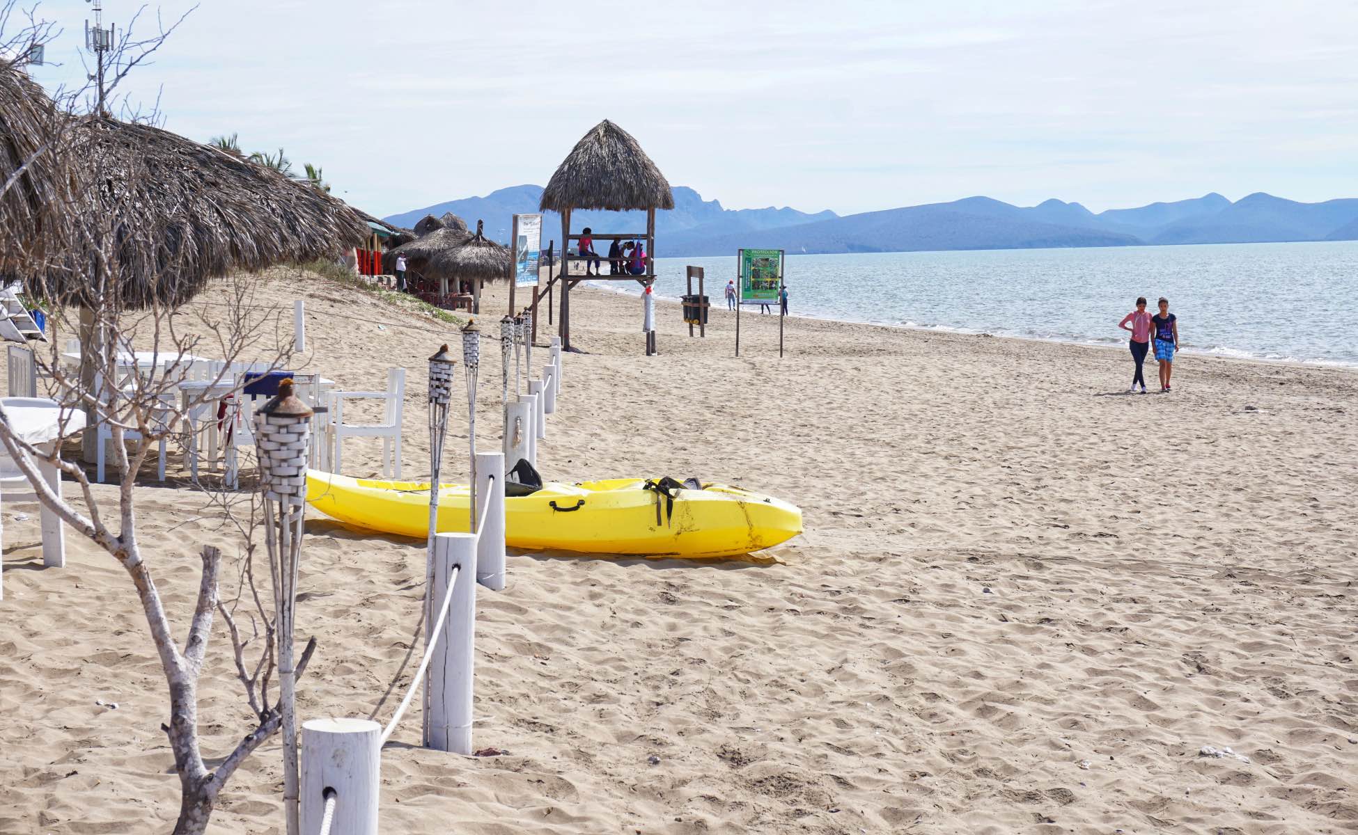
Maviri is situated on the Sea of Cortez and has large, sandy beaches, a little boardwalk, picnic areas, and a lot of seafood restaurants. The most famous local dish is called el pescado zarandeado and is a must for any seafood lover.
How to get to Maviri Beach from Topolobamp
You can either hire a taxi or catch a bus. If you take a taxi, arrange for the same driver to pick you up later.
Buses run between Topolobampo and Maviri during the day; ask the driver when the last one back leaves.
How to get to Maviri Beach from Los Mochis
You can hire an Uber or a taxi to get you to Maviri Beach from Los Mochis. If you don’t plan on staying in Topolobampo for the night, it’d be a good idea to arrange for the driver to pick you up later.
Otherwise, you can take a bus. Azules del Noroeste buses leave the Los Mochis terminal (see map above) during the day. Ask at the terminal when the last bus back leaves Maviri.
Jardín Botánico Benjamin Francis Johnston
If you’re short on time in Los Mochis but still want to get your nature-fill, head over to the Botanical Gardens. The gardens are located only a 15 min walk from the Azules del Noroeste bus station and offer a peaceful place to sit and admire nature.
The gardens have many local and exotic flora and some local animals too, including a butterfly pavilion. You can even bring some food and have yourself a little picnic. If you have extra time in Los Mochis, this is definitely a great place to spend it.
Museo Regional del Valle del Fuerte
If it’s history and heritage that you seek, then this little museum will make an excellent stop. You can learn more about the Sinaloan region and its history, and how Los Mochis got its start as a city. They also hold special exhibitions on some weekends.
Note that the museum is closed on Mondays and that the signage throughout the museum is in Spanish only.
Hotels in Los Mochis
Although most travellers to Los Mochis are only passing through on their way to the airport, the city does have a lot of options when it comes to accommodations. And seeing as Topolobampo really only has one option, sometimes it’s more preferable to stay in Los Mochis.
Here are a couple of options for different budgets:
Low budget
Hotel Fenix
This hotel is simple but its location is perfect for anyone who will be using the Azules buses, as it’s just a couple of minutes walk from the station. It also has a great restaurant on-site, which is open late.
Click here to check prices and availability
Mid budget
City Express Los Mochis
Situated right beside a supermarket, this is a great place to stay and stock up on snacks before heading out on El Chepe, or to Maviri Beach for the day.
Click here to check prices and availability
High budget
Fiesta Inn Los Mochis
This is a comfortable hotel with a restaurant, a gym and an outdoor pool. Even better, it’s only a 10-minute walk to the Botanical Gardens.
Hotels in Topolobampo
Topolobampo is a tiny little port town and accommodation options are therefore very limited. In fact, there’s really only one hotel in Topolobampo that can be booked online:
Hotel Marina
Hotel Marina is spacious and has the essentials, though the rooms could use some touch-ups. The location, however, is great and makes staying in Topolobampo very easy.
Click here to check prices and availability
Additional Information for Los Mochis, Sinaloa
Below are some general tips from personal experience. If you have travelled in Mexico or Copper Canyon and have any other tips please feel free to leave a comment at the bottom of the page!
Money
There are plenty of banks scattered throughout the city of Los Mochis including Scotiabank and HSBC.
If you're travelling through the Copper Canyon, take pesos with you. The train operator says the only ATMs along its route are in Los Mochis, El Fuerte and Creel; on board only cash is accepted, and community entrance fees are cash only. Cards are widely accepted in Creel today. Take the usual precautions when carrying cash and don't visit an ATM after dark.
ATMs dispense primarily in 500-peso denominations and more often than not retailers don't have change for these large bills. Hold on to as many small bills (20s, 50s, 100s, 200s) as you can, ideally getting change before you leave the city.
Don't accept change in the form of ripped or torn bills as the next retailer won't accept them from you. If you do find one in your wallet you can exchange it at a bank.
Valuables
Many of the hotels throughout the Copper Canyon do not contain room safes and front desk staff will not assume responsibility for valuable items left with them. Carry your passport and other valuables with you, or ask your hotel what it offers before you book.
Travel Insurance
Not all travel insurance policies provide coverage for travel to the states of Sinaloa and Chihuahua, Mexico. Make sure you purchase the right policy for your trip. Click here to learn more about travel insurance specifically for the Copper Canyon.
Maps.me
The free app Maps.me contains more detailed routes and amenities than Google maps. You can download it for apple or android, and then download the map of Mexico before you leave to visit the Copper Canyon. Even if you don't have data while traveling in Mexico you'll be able to navigate using the map and GPS on your phone.
Cellular Service
Service in the entire Copper Canyon is pretty weak, if non-existent, for many providers. Most hotels offer free wifi. If you want cell service in the Sierra, buy a Mexican SIM card for an unlocked phone in a city before you head into the canyons.
Itineraries for Topolobampo & Los Mochis, Sinaloa
How long should you stay in Los Mochis? Most people who end up here are either just starting or just finishing a trip through Copper Canyon. However, it’s actually preferable to start or end the train portion of the journey in El Fuerte, about 2 hours away. If you choose that option, you’ll have more flexibility with your time in Los Mochis. You can learn more about El Fuerte by clicking here.
If you’re interested in seeing Maviri Beach or Topolobampo, you’ll need at least one full day in the area. Below is an itinerary to fill up one or two days in the region.
Day One
- Arrive in Los Mochis late morning.
- Catch a bus to Topolobampo.
- Head to the pier as soon as possible to book a same-day boat tour.
- Enjoy the afternoon and early evening on a boat tour.
- Return to the pier for a super fresh seafood dinner.
- Stay the night in Topolobampo, or take a taxi back to Los Mochis.
Day Two
- Get an early start and head over to Maviri Beach (buses can take you there from either Los Mochis or from Topolobampo, click here for details).
- Enjoy the morning and lunch at the beach.
- Head back to Los Mochis in the early afternoon (bus, taxi or Uber).
- Visit the Jardín Botánico in the late afternoon.
- For dinner, dine on some of the best seafood in Mexico.
Recommended hotels
Recommended tours
Send me this guide
Everything on this page in your inbox: the schedules, the booking links and the dates we checked them. Handy for planning, printing or reading on the train.
4 questions from readers
Questions and answers left by readers on this guide since it was first published, with their original dates. Some answers describe schedules and prices that have changed since. New comments are paused while the site moves to its new version.jim Peterson
Is there any RV overnight parking or RV parks, anywhere near Topolobampo?
Kayla
Hi Jim,
That’s a great question but I, unfortunately, don’t have an answer for you. If you do find an RV park, please feel free to post here for future readers with RVs.
Good luck!
jim Peterson
Hi, Kayla,
Sorry it took me so long to get back to, but my memory isn’t as good as it used to be.
I know there are no RV parks, in Topolobampo, but I was wondering if there is any place, where an RVer, could park for the night. There is a town north, a few miles, where one of the restaurants, would let you park on their property, if you bought your meals from them. That would be a super idea, as it can be a lot of trouble driving a large motorhome in the cities.
But, anyway, I thank you for your answer, and I will be around the area, for sometime, as I have a house in Bacubirito, Sinaloa.
Thanks, again,
jim Peterson
Kayla
Thanks so much for the RV tips, Peter!